| Plate Tectonics explained | |
The convection idea presented in this video is bunk.
At atmospheric pressure, rock melts producing magma that is less dense than its parent material. However, at pressures found quite near the surface (about 400km, depending on type), rock that melts produces magma that is more dense than its parent material.
This means that there is a crossover depth above which melted rock will rise and below which melted rock will only ever sink. Thus convection of the mantle cannot happen.
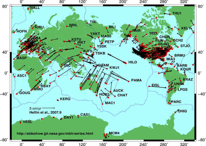
Also, GPS measurements do not measure crustal movement of the type described. The data comes from movement due to earthquakes, not the steady, slow drift predicted by plate tectonic theory. The mid ocean ridge is accessible on land in some places, but laser measurements between the two edges do not show the drift.
The explanation for the surface features is understandable with a rejection of the assumptions presented in this video and a simple model of gravity producing friction, producing melting, producing a denser and shrinking core.
This means that the volume of the Earth is shrinking.
Last edited:
.jpg)